
|
 Fitxa CA-2837_0003 Fons: Fototeca Digital
| < Torna al llistat |
 CA-2837_0003 |
ÀREA DIDENTIFICACIÓ
Núm. de fitxa: 5408Fons: Fototeca Digital
Signatura: CA-2837_0003
DESCRIPCIÓ
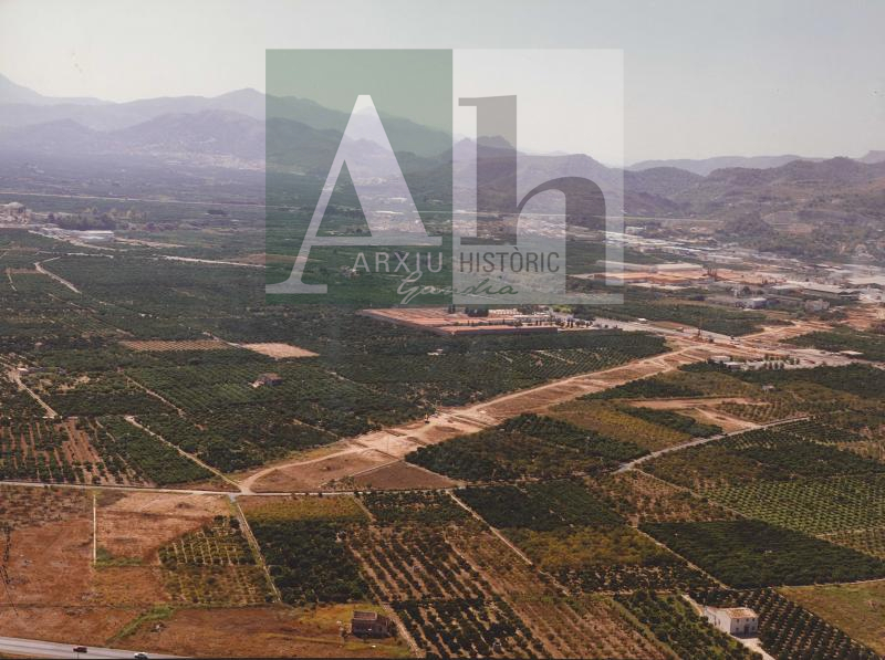
Títol: Vista aèria del terreny arrasat per a la construcció de la circumval·lació de la carretera N-332Observacions: A l'altura del cementeri municipal i l'encreuament amb la carretera d'Almoines. Al fons, el polígon industrial i el poble del Real de Gandia. S'aprecia l'alqueria de Sanchis
Paraules clau: ALQUERIES; CARRETERES; CEMENTERIS; CIRCUMVAL·LACIONS; OBRES; FOTOGRAFIES AÈRIES
Llocs: Benieto; N-332, Carretera
AUTORIA I DATACIÓ
Autor: JESÚSData: 1994
Dècada: 1990
DESCRIPCIÓ FÍSICA I CONSERVACIÓ
Alçària: 280Amplària: 400
Positiu: X
IMAB. Pl. Rei Jaume I, 10 - 46701 Gandia - Tel: +34 96 295 95 67 - www.imabgandia.es - arxiuhistoric@gandia.org - Programació